81 Carrigan Dr
205E Aiken Center
Burlington, VT 05401
United States
- M.S. Wildlife and Fisheries Biology, University of Vermont, 1996
BIO
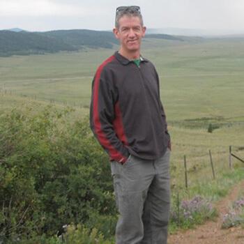
Ernie is a research specialist and systems administrator in the Spatial Analysis Lab, where he has more than 20 years of experience with geospatial analysis and management of computer systems for GIS and remote sensing. Ernie has worked on development of tools and databases for conservation planning, wildlife habitat modeling, biodiversity assessment, land cover mapping, geoprocessing automation, dynamic database-driven web site development, wetland inventory and avian field research. He was a technical leader on the Vermont Biodiversity Project and Gap Analysis for Vermont and New Hampshire and has developed data, models and analytical techniques for projects investigating a variety of topics ranging from Bobcat movement and habitat use, to public health effects of transportation networks to vineyard site selection.
As a field biologist, Ernie has studied abundance and productivity of forest songbirds, evaluated vernal pools and other wetlands, banded and tracked bald eagles and American woodcock, collected aerial telemetry and videography and participated in numerous wildlife monitoring projects. In addition to providing server, workstation and software support in the Spatial Analysis Lab, Ernie manages computer systems in the Geospatial Teaching Lab and also serves as UVM's Esri site license administrator.
Area(s) of expertise
Geospatial analysis, conservation planning, wildlife habitat modeling, biodiversity assessment, land cover mapping, geoprocessing automation, dynamic database-driven website development
Bio
Ernie is a research specialist and systems administrator in the Spatial Analysis Lab, where he has more than 20 years of experience with geospatial analysis and management of computer systems for GIS and remote sensing. Ernie has worked on development of tools and databases for conservation planning, wildlife habitat modeling, biodiversity assessment, land cover mapping, geoprocessing automation, dynamic database-driven web site development, wetland inventory and avian field research. He was a technical leader on the Vermont Biodiversity Project and Gap Analysis for Vermont and New Hampshire and has developed data, models and analytical techniques for projects investigating a variety of topics ranging from Bobcat movement and habitat use, to public health effects of transportation networks to vineyard site selection.
As a field biologist, Ernie has studied abundance and productivity of forest songbirds, evaluated vernal pools and other wetlands, banded and tracked bald eagles and American woodcock, collected aerial telemetry and videography and participated in numerous wildlife monitoring projects. In addition to providing server, workstation and software support in the Spatial Analysis Lab, Ernie manages computer systems in the Geospatial Teaching Lab and also serves as UVM's Esri site license administrator.
Areas of Expertise
Geospatial analysis, conservation planning, wildlife habitat modeling, biodiversity assessment, land cover mapping, geoprocessing automation, dynamic database-driven website development
